Showing posts with label Mormon trail. Show all posts

Fort Laramie - Protecting the West


In 1834, it was Fort William named after post founder, trapper/trader William Sublette.By 1841, the post was owned by the American Fur Company and renamed  Fort John. In 1849, with gold rushers heading west, it was purchased by the United States Army for $4,000. With so many folks heading west, the government was convinced it needed to start protecting the trails.
Barracks at Fort Laramie

In 1849, the first three companies of cavalry arrived at the fort, including Company G, 6th Infantry, which would become the permanent garrison at Fort Laramie. Many of the forts early enlistees, spoke broken or no English. Even in those days it was tough to find workers for $13 a month. The good news was reenlistment would add another two bucks a month. Not only were many of the new recruits recent immigrants, most had never ridden a horse. Fort Laramie had a large number of foot soldiers, so this was not much of a problem.
Across Parade Ground to Officer Quarters

Something I have always found of interest, the army had companies of men into the 1880s then they became troops. Same group, different name. I often run across these terms used incorrectly when I am reading in my favorite genre, historical fiction.

Here is the makeup of a troop/company.

1     Captain
1     First Lieutenant
1     Second Lieutenant
1     First Sergeant
5     Line Sergeants
4     Corporals
2     Trumpeters
2     Farriers (horseshoers and
           Horse doctors – army trained or self-trained veterinarians)
78    Privates (more or less, at Fort Laramie normally a few less)
 
Jail Cells - solitary at the Fort
In the new research I am doing for a future book on Fort Laramie, I have found several instances where the Fort Commander held a rank lower than Captain – must not have been a very popular place.
Remains of the old Fort Hospital on the hill

Although they were never close to having a full regiment of men, it was discussed when the Indian wars escalated along the Oregon, Mormon and Bozeman trails. That would have been quite a change as a regiment was made up of ten troops, meaning the number of soldiers at Fort Laramie would have gone from a normal 300 or so to 1,000.  Note – After the Civil War a  regiment was increased to 12 troops, not sure why.
There was always plenty of action around the fort

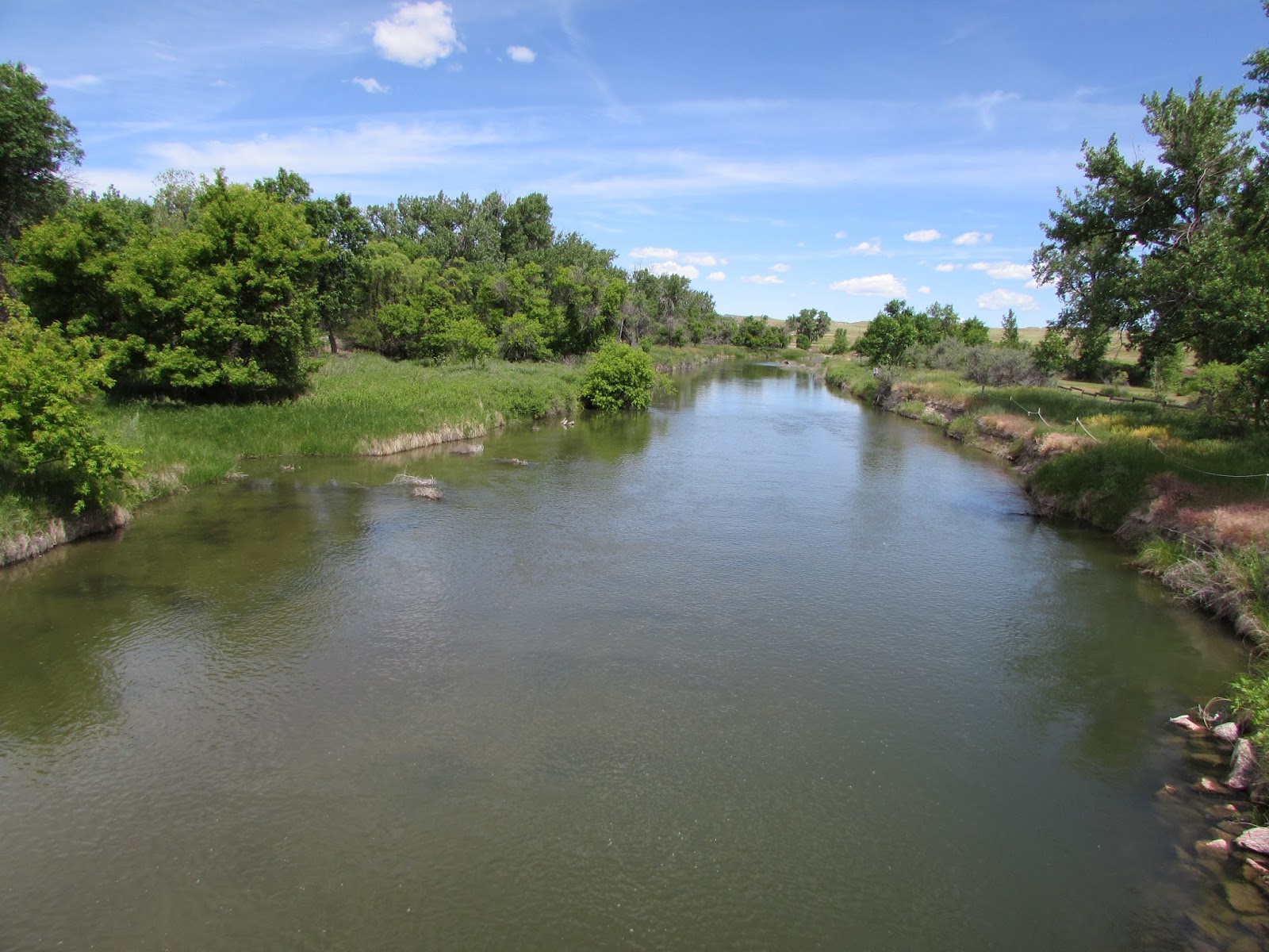
Laramie River near the fort


Is That a Wagon in My Back Yard ?

My wife and I have had several discussions as to whether the Oregon or Mormon Trails passed through our back yard. Why, because we live only a quarter of a mile from the North Platte River.
Looking back at the North Platte River  from Deep Ruts Hill
The trails were not a path but an area of many paths. In some places in Wyoming, the trails are many miles wide from north to south. All of the wagons west did not follow in the ruts of others. Here in Guernsey, Wyoming there are ruts within a stone’s throw of the trail and some several miles away.
In  places, wagons cut the soft rock
Where the view of the river was lost often a deer or buffalo trial was followed. These trails, early on known as trapper trails, would eventually become the famous trails west. Wilson Price Hunt’s route west to Astoria became the approximate course of the Oregon Trail. But it was Robert Stuart’s path along the North Platte River that perfected the trail.


Flower lined game trail
The Oregon and Mormon trails became the greatest highways of American history expanding America to the Pacific Ocean. The Indians called it the Great Medicine Road of the whites. Yes, there were settlers in Oregon before the trail and thousands of people in California. But now there was a way for the common man to go west. And for the first time the Indian lands of the west became fair game for new settlement.  

Laramie Peak


Laramie Peak the highest mountain in the Laramie Range of the Rocky Mountains stands 10,276 feet above sea level. The Peak, as we locals call it, doesn’t sound too impressive until you look at the land around it. Only a few miles away the land is 5,000 feet lower. This makes Laramie Peak more than a mile high from the surrounding area, now that’s impressive.

Easily seen for more than 100 miles, travelers on the Oregon and Mormon trails watched it for more than a week, wondering if they would ever reach it. Laramie Peak let voyagers know that they had reached the mountains, a place on the trail they had waited many months to reach.

Mark Twain in his famous western journey, Roughing It, wrote of the peak. We passed Fort Laramie in the night, and on the seventh morning out we found ourselves in the Black Hills, with Laramie Peak at our elbow (apparently) looming vast and solitary--a deep, dark, rich indigo blue in hue, so portentously did the old colossus frown under his beetling brows of storm-cloud. He was thirty or forty miles away, in reality, but he only seemed removed a little beyond the low ridge at our right.”

We live in a beautiful area between Fort Laramie (13 miles east) and Laramie Peak, (35 miles west)The North Platte River, Oregon and Mormon trails are less than a half mile away. We take a look at the peak every day, if the top has cloud cover the wind will blow, if the top is visible, mild weather and its never wrong.

I took these photos of Laramie Peak last week, one from atop Spotted Tail Mountain in Guernsey State Park and the small one on the right from west of town.